Making the invisible visible again - Unforgotten Lives exhibition at LMA
by Andrea Kocsis on Apr 22, 2023
The Unforgotten Lives exhibition, a collaboration between the London Metropolitan Archives (LMA), Mapping Black London (MBL), and Northeastern University London, has launched! The exhibition displays the Switching the Lens dataset, a collection of parish records mentioning non-white people in London. I helped design digital components to engage a sense of ‘deep place’, where visitors are encouraged to consider the long-range presence of non-white Londoners by making connections between past and present.
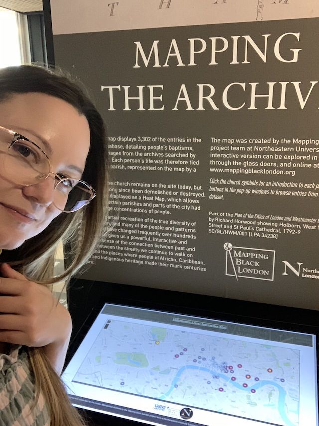
Three simple digital components, acting like contact zones, tackled this purpose in three complementary ways. Firstly, an ‘Interactive Map’ in the heart of the exhibition space allows users to interact with the Switching the Lens dataset, browse by parish, look up specific regions, and find people and places mentioned in the exhibition. The screen displays a website I made for hosting an ArcGIS app prepared by the Mapping Black London team. My objectives were optimisation for large screens, intuitive use, and preventing lasting user mistakes.
You can browse the map on the MBL team siteand check the screen out at the exhibition.
Secondly, an animated Flow Map presents the routes and roots of non-white Londoners, showcasing the global nature of history alongside the local. Here I was rather a background worker, eagerly cleaning location coordinates. You can explore the Flow Map here.
Finally, I made a web app, optimised for phone browsers, which is a real-time geolocation tracking walking guide helping visitors discover the places mentioned during the exhibition, encouraging them to interact with the heritage of Black London after leaving, extending the exhibit over the walls of the archives to the city itself.

Scan there
The exhibition discovers people and places which were once material but are not visible anymore. Our approach was to digitally link the visitor to the physical space and by doing so, invoke the historical layers of the city. By juxtaposing the archive records (material temporal), the interactive maps (digital spatial) and the city walking guide application (digital-material temporal), the visitor can experience a synthesis between different forms of encounter with their local heritage. These materials, moreover, induce a more lasting engagement with the exhibition, allowing visitors to explore the material online in their own time – either at home or on the move across the city’s streets.
NU & LMA collaboration reflects opportunities for partnerships. Universities with institutional access to software, expertise and research support can complement archives that have the source material. It is an appropriate time for digital collaboration – as several databases that have been long in the making and have great material remain inaccessible or unengaging to the public. By adapting to the nature of newer tools and taking a less protective approach towards the records, LMA enabled it to bring life into a valuable but not user-friendly collection.
Read more about the collaboration on the MBL blog.